Smart

Image

Infrastructure

A Smart Urban Infrastructure System, particularly in the context of a Quantum Intelligent Futuristic City Management System, is a comprehensive framework that integrates various advanced technologies to enhance the efficiency, sustainability, and livability of urban environments.

Image

Key aspects and capabilities of our system.

Image
1. Smart Transportation: Incorporates intelligent traffic management systems, autonomous vehicles, and smart public transit solutions. It uses sensors and AI to optimize traffic flow, reduce congestion, and improve public transportation efficiency.

Image
Conceptual diagram illustrating Smart Transportation in a Smart Urban Infrastructure System. The diagram shows an interconnected network of smart traffic management systems, autonomous vehicles, and public transit solutions. It visualizes sensors and AI managing traffic flow, reducing congestion, and optimizing public transportation routes. The design emphasizes the integration of technology in transportation, enhancing efficiency and reducing environmental impact in urban settings.
Image
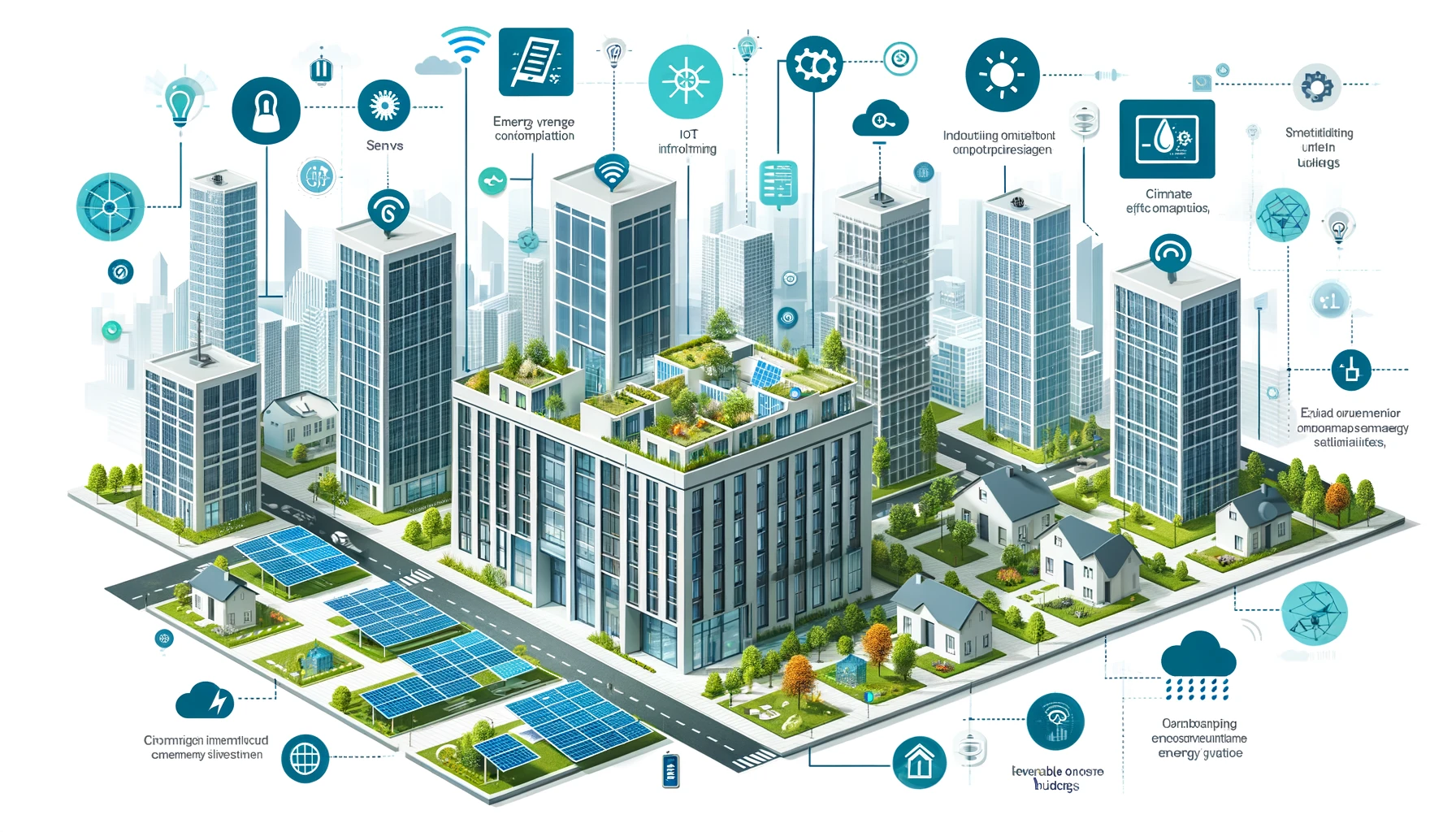
2. Energy-Efficient Buildings: Implements smart building technologies for energy management, leveraging IoT devices for monitoring and controlling energy usage, thereby reducing the overall carbon footprint.
Image
Conceptual diagram for Energy-Efficient Buildings in a Smart Urban Infrastructure System. The diagram shows the application of smart building technologies, including IoT devices for energy management. It illustrates buildings equipped with sensors for monitoring energy usage, climate control systems, and integration with renewable energy sources. The design highlights how these technologies contribute to reducing energy consumption and carbon footprint, making urban buildings more sustainable and efficient.
Image
3. Smart Grids and Renewable Energy: Utilizes advanced energy systems like smart grids that efficiently distribute electricity, integrating renewable energy sources such as solar and wind power to promote sustainable energy usage.
Image
Conceptual diagram depicting Smart Grids and Renewable Energy in a Smart Urban Infrastructure System. The diagram illustrates a smart grid system integrating renewable energy sources like solar panels and wind turbines. It shows the distribution of electricity across the city, with smart meters and energy management systems optimizing usage and reducing waste. The design emphasizes the role of smart grids in promoting sustainable energy usage and the integration of renewable energy sources in urban settings.
Image
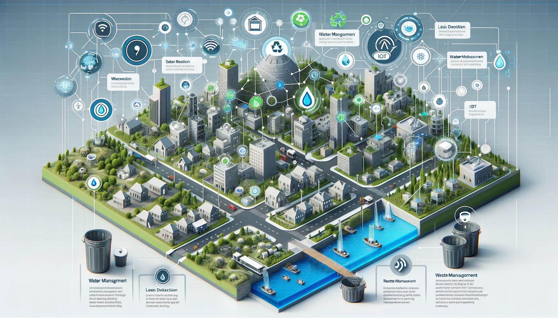
4. Water and Waste Management: Employs intelligent systems for water distribution and waste management, optimizing resource utilization and promoting recycling and sustainable practices.
Image
Conceptual diagram illustrating Real-Time Analytics in a Predictive Analytics System for a Quantum Intelligent Futuristic City Management System. The diagram displays a network of real-time data sources, including sensors and cameras, providing constant data streams. These streams are fed into an analytics engine where they are immediately processed to provide real-time insights and forecasts. The design emphasizes the system's capability to analyze data as it is received, crucial for making timely decisions in a dynamic urban environment.
Image
5. Environmental Monitoring: Includes sensors and IoT devices to monitor air quality, noise levels, and other environmental factors, helping to maintain a healthy urban ecosystem.
Image
Conceptual diagram showcasing Environmental Monitoring in a Smart Urban Infrastructure System. The diagram illustrates a network of environmental sensors and IoT devices monitoring air quality, noise levels, and other environmental factors across the city. It shows real-time data being collected and analyzed to maintain a healthy urban ecosystem. The design emphasizes the importance of continuous environmental monitoring in ensuring the well-being of city residents and the sustainability of urban areas.
Image
6. Digital Connectivity: Ensures high-speed internet and digital services are accessible throughout the city, enhancing communication and information access for all residents.
Image
Conceptual diagram for Digital Connectivity in a Smart Urban Infrastructure System. The diagram illustrates a city-wide high-speed internet network. It shows connectivity hubs, fiber-optic lines, and wireless access points spread throughout the city, ensuring that all areas have access to digital services. The design highlights the importance of digital connectivity in a modern city, enabling communication, information access, and the integration of various smart city services.
Image
7. Public Safety and Security: Integrates advanced surveillance systems, emergency response solutions, and IoT-enabled public safety tools to ensure a secure and safe urban environment.
Image
Conceptual diagram visualizing Public Safety and Security in a Smart Urban Infrastructure System. The diagram shows an integrated security network including advanced surveillance systems, emergency response solutions, and IoT-enabled public safety tools. It illustrates how technology is used to monitor urban areas, coordinate emergency services, and ensure a secure environment for residents. The design emphasizes the role of smart technology in enhancing public safety and security in urban settings.
Image
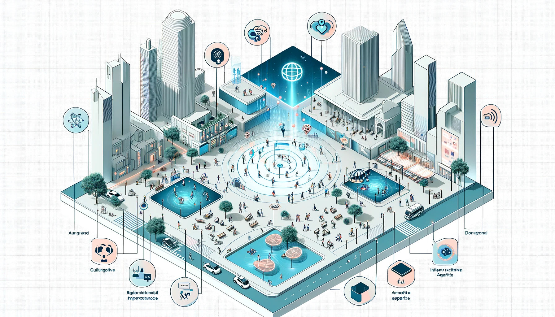
8. Smart Public Spaces: Develops interactive and responsive public spaces, utilizing technology like augmented reality and interactive displays to enhance cultural and recreational experiences.
Image
Conceptual diagram for Smart Public Spaces in a Smart Urban Infrastructure System. The diagram depicts interactive and responsive public spaces equipped with technology like augmented reality and interactive displays. It shows how technology is used to enhance cultural experiences, recreational activities, and public engagement in urban areas. The design highlights the integration of technology in public spaces, making them more engaging and dynamic for residents and visitors.
Image
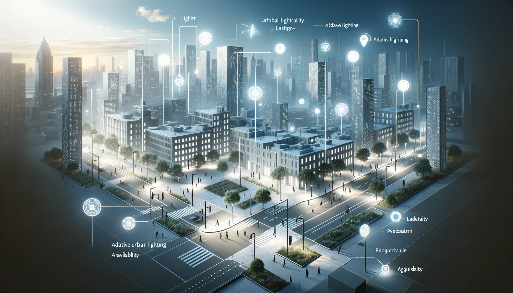
9. Adaptive Urban Lighting: Implements smart lighting systems that adjust based on natural light availability and pedestrian traffic, reducing energy consumption and enhancing public safety.
Image
Conceptual diagram illustrating Adaptive Urban Lighting in a Smart Urban Infrastructure System. The diagram shows smart lighting systems that adjust based on natural light availability and pedestrian traffic. It visualizes how these systems are distributed throughout the city, enhancing public safety and reducing energy consumption. The design emphasizes the use of technology in urban lighting, showcasing the balance between energy efficiency, safety, and aesthetic appeal in city environments.
Image
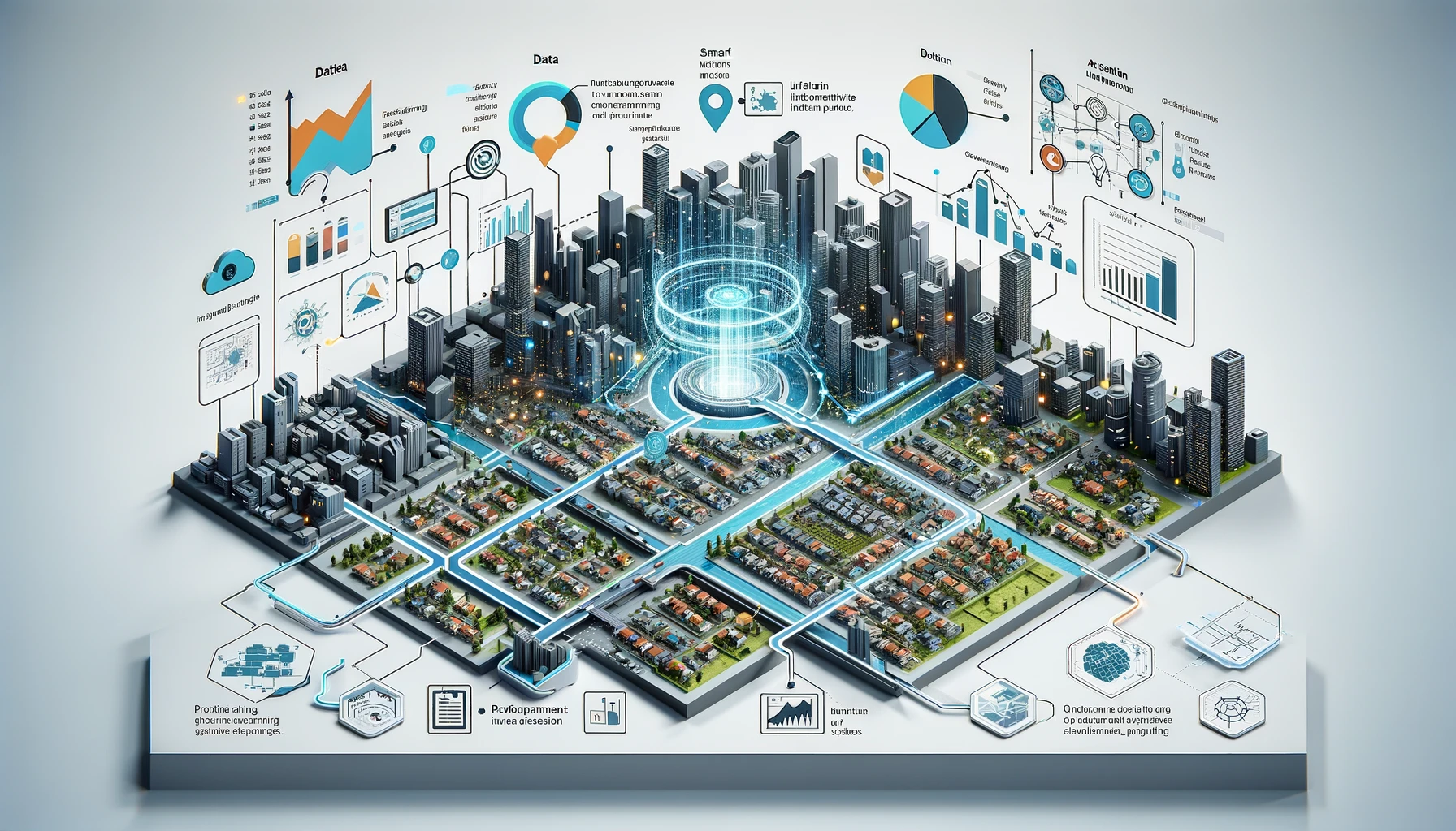
10. Data-Driven Urban Planning: Uses data analytics and predictive modeling to inform urban development and planning, ensuring sustainable growth and development.
Image
Conceptual diagram for Data-Driven Urban Planning in a Smart Urban Infrastructure System. The diagram illustrates the use of data analytics and predictive modeling to inform urban development and planning. It shows data from various urban sources being analyzed to shape future city layouts, infrastructure projects, and policy decisions. The design highlights the role of data in guiding sustainable growth and development, ensuring that urban planning is efficient, forward-thinking, and responsive to the needs of the community.
Image
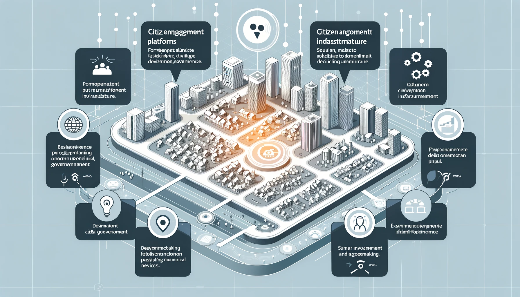
11. Citizen Engagement Platforms: Offers digital platforms for residents to engage with city management, provide feedback, and access municipal services.
Image
Conceptual diagram showcasing Citizen Engagement Platforms in a Smart Urban Infrastructure System. The diagram depicts digital platforms for residents to engage with city management. It shows interfaces for feedback, participation in decision-making, and access to municipal services. The design emphasizes how technology enhances citizen involvement and transparency in urban governance, making it more inclusive and responsive to resident needs.
Image
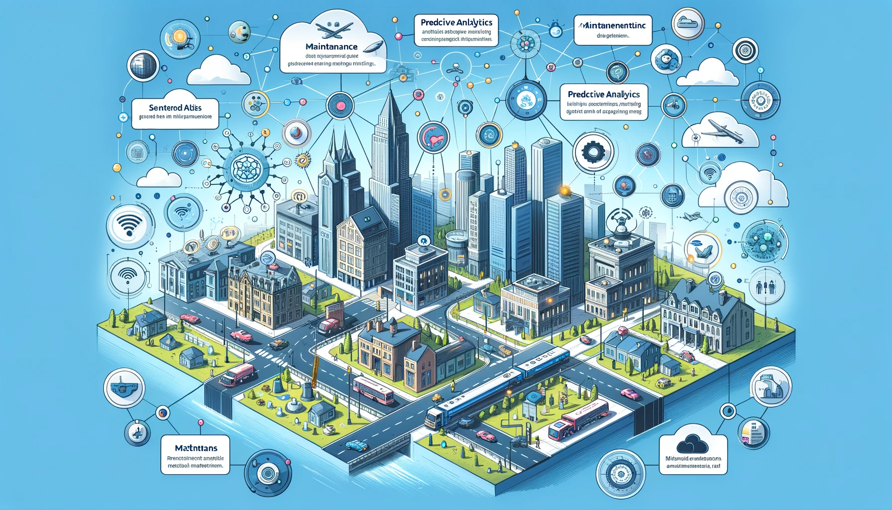
12. Maintenance and Upkeep: Utilizes predictive analytics for infrastructure maintenance, ensuring timely repairs and upkeep to avoid disruptions.
Image
Conceptual diagram for Maintenance and Upkeep in a Smart Urban Infrastructure System. The diagram illustrates a network of sensors and IoT devices embedded in city infrastructure, monitoring the condition of roads, buildings, and public utilities. It shows predictive analytics being used to identify potential maintenance needs before they turn into major issues. The diagram also includes maintenance teams receiving alerts and deploying for repairs, highlighting the system's efficiency in proactive maintenance and ensuring the longevity of urban infrastructure.

Let's work together